


-

Campsite
After we set up the campsite and began to settle in, it began to rain. The fire pit was covered by a tarp, as shown in the photo to the left, but not in time to keep the pit dry so the Keeper of the Flame was unable to start a fire. There are no amenities available in the campground area. Gingercake Creek is the nearest water source located northeast of the campground approximately a half mile down the mountainside. The campsite is very close to the parking area so extra water is not an issue in carrying it to the campsites.
-

To the left is a photo as it began to rain and the photo below is the next day when it was sunny and things were drying out. The kids were off exploring and the parents were taking a well-deserved rest and relaxation break.

-

Campsite Trails
There were numerous trails in the campground area that lead to other campsites. One such trail headed northeast and I believe leads to Gingercake Creek. My granddaughters and I walked down this trail for 15 minutes before we turned back to camp and noticed several more campsites further down the trail.

-

Forest Full of Mushrooms
The forest floor was host to many species of mushrooms. I cannot remember ever seeing so many varieties of mushrooms in all my hiking trips combined. Can you identify these mushrooms? If so click on the CONTACT' above in the header and send me an email with your educated guess of the species photographed. Each photo is numbered. Click on the photo to the left to view the seven mushroom photos.
-

The Hike to the Summit
Parts of the trail to the summit were very steep and rocky. The photo to the left shows one section of the trail where you had to clamber up rocks. Each steeper section was followed by a relatively level section which made the trip to the summit less strenuous. The photos on the bottom are of a switchback. My granddaughter stands above me on the upper part of the switchback.


-

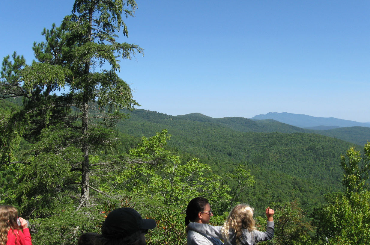
Midway Views
At 3600 feet the trail opens up with views northward towards Sitting Bear Mountain and Gingercake Mountain. There was a flat rock outcrop you could stand on to get an unobstructed view of the mountain range.

-
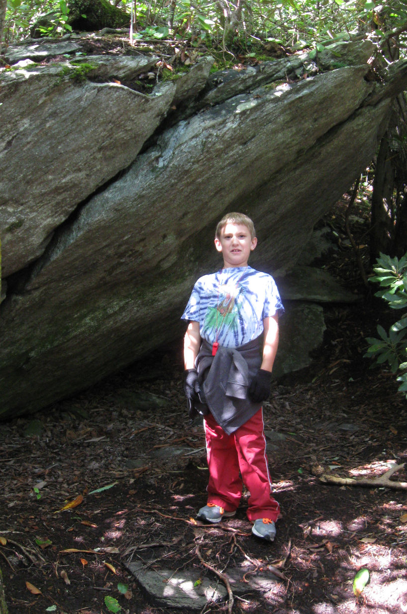
Archeological Discoveries
The children made important archeological discoveries of caves and rock formations along the trail. Their imaginations transformed rocky outcroppings into caves and rock formations into sculptures. The trail is lined with many interesting landscape formations that entertained the children as we climbed the steep trail.


-
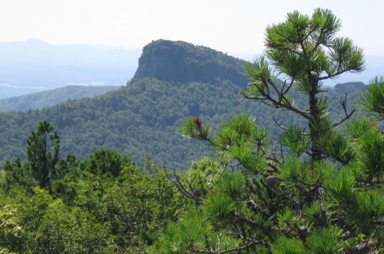
View from the Top
On the summit of Hawksbill Mountain you have a 360° view of the surrounding mountains and views of the Linville Gorge canyon, valley floor and Linville River 2000 feet below. Table Rock Mountain is pictured in the photo to the left.


-

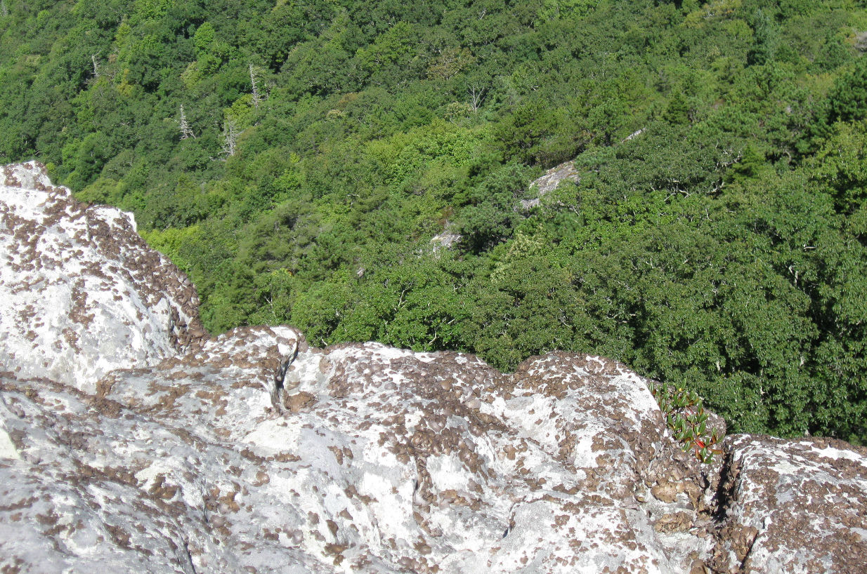
The Linville Gorge Wilderness area covers 11800 acres that include spectacular rock formations that include Hawksbill, Sitting Bear, Table Rock and the Chimneys. The photos left and below left are looking into the canyon. Below right is a view looking over the ledge into the valley below.

-

View from the Road
On the way back home we stopped off at an scenic overlook to see the mountain we climbed earlier. This is the view looking southwest from NC-181 state road.

-

Hawksbill Mountain Trail Map
The map to the left can be found on AllTrails site. From the looks of the trail lines I believe it was created using a GPS system much like the maps I make with the Garmin unit I have.